
By Summer Sun, Digital Solutions Manager at Stantec
Dam safety is a critical responsibility in mining, especially when dealing with tailings storage facilities (TSFs). A proactive approach using real-time data visualization and remote monitoring can transform even the most inaccessible sites into examples of modern tailings management. By combining geotechnical instrumentation, advanced data analytics, and cloud-based dashboards, operators can significantly improve site safety and work toward full compliance with the Global Industry Standard on Tailings Management (GISTM).
As a digital solutions manager at Stantec, I’ve supported the design and implementation of digital monitoring systems that advance both safety and performance. In this article, I’ll share how real-time monitoring technology can be deployed to meet the GISTM framework, reduce risk, and streamline decision-making across the lifecycle of a TSF.
Best practice approach for tailings management
The GISTM sets out clear expectations: Operators must prevent catastrophic failures through adopting best practices in planning, design, construction, operation, maintenance, monitoring, closure, and post-closure activities. Success requires an iterative process where data is used not just for recordkeeping, but to inform decisions, refine assumptions, and validate long-term performance.
The standard calls for a comprehensive understanding of site behavior over time. This means moving beyond periodic monitoring to continuous, real-time surveillance that supports timely response and accountability.
Building a smarter monitoring system
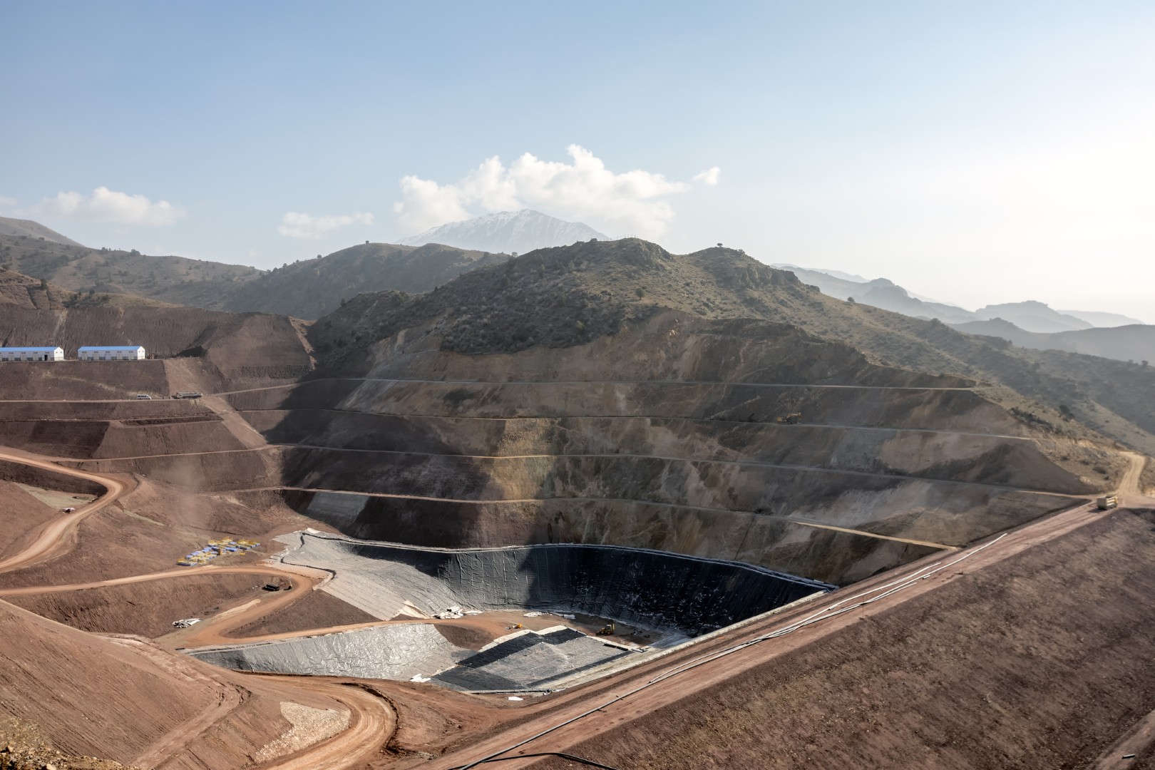
Modern monitoring systems are designed to be sensor-agnostic, capable of integrating a wide variety of instruments based on site-specific requirements. Typical instrumentation includes vibrating wire piezometers for monitoring pore pressure, in-place inclinometers for detecting slope movement, accelerometers for seismic activity, and sensors for weather conditions, depending on the site’s specific monitoring requirements. These instruments are typically connected to ruggedized data loggers and wireless gateways, enabling remote access and continuous data transmission.
At Stantec, we developed the Mosaic™ dashboard to enable this integrated approach. Figure 1 illustrates a workflow that connects sensor readings to a cloud-based dashboard. In addition to site-specific instrumentation, the system can also integrate publicly available datasets such as regional earthquake activity and air quality indices, which provide a more comprehensive picture of site conditions and potential external triggers.

Turning raw data into monitoring insights
A critical component of any monitoring framework is the ability to interpret data in ways that support timely, informed decisions. One powerful tool for this purpose is the dynamic 2D cross section, which visualizes sensor readings along key profiles, such as a tailings embankment, in real time. This spatial representation allows engineers to quickly assess variations in pore pressure or slope movement across depth and distance, enabling faster diagnostics and more targeted follow-up actions. Figure 2 presents a cross-sectional profile of a TSF, showing the locations of piezometer sensors along with their real-time values. By layering this information with weather data, users can explore correlations between precipitation, snowmelt, or other environmental factors and observed changes in subsurface conditions.

Integrating fieldwork with digital platforms
While automated systems are powerful, field inspections remain a vital aspect of monitoring. Many teams now enhance this work using GIS-enabled mobile tools such as ArcGIS Online and Survey123. Field personnel can collect data, take photos, and log geo-referenced observations directly from a mobile device. These entries synchronize with the central dashboard, providing a complete and spatially organized record of site conditions. This approach reduces paperwork, improves transparency, and accelerates follow-up actions.
Looking forward: A model for industry transformation
While each site is unique, the methodology outlined here is broadly transferable. Whether supporting active mines, legacy facilities, or non-mining infrastructure such as dams and reservoirs, real-time remote monitoring provides a scalable and efficient approach to risk management and regulatory compliance. The flexibility of these systems allows for future enhancements, such as drone-based surveys, automated reporting, or machine learning for pattern recognition.
By investing in scalable, transparent monitoring systems, operators can strengthen their stewardship, demonstrate regulatory alignment, and build long-term resilience into tailings infrastructure.

About Summer Sun
Summer Sun knew what she wanted to do early on in life. Growing up in China, where her mother and grandfather both worked in civil engineering, she gained an early interest in the field. She joined Stantec in 2018 and earned her professional engineering (PE) license shortly after, earning her the official title of geotechnical engineer. Since joining Stantec, she’s gained valuable experience in the areas of geotechnical site characterization, advanced geotechnical modeling, seismic hazard assessment, and programming and coding.
The opportunities for cross-discipline collaboration and the ability to gain global experience is what Summer enjoys most about her role. She loves having the opportunity to learn from others and share her own knowledge while working with diverse teams on some of the most fascinating and complex mining projects around the world.
One of her most significant projects thus far involves developing design configurations for an embankment dam system with tailing disposal scheme in a large mine.
Outside of the office, Summer enjoys traveling and spending time with her family, especially when it involves introducing her daughter to some of her favorite locales.
About Stantec
Stantec empowers clients, people, and communities to rise to the world’s greatest challenges at a time when the world faces more unprecedented concerns than ever before.
We are a global leader in sustainable engineering, architecture, and environmental consulting. Our professionals deliver the expertise, technology, and innovation communities need to manage aging infrastructure, demographic and population changes, the energy transition, and more.
Today’s communities transcend geographic borders. At Stantec, community means everyone with an interest in the work that we do—from our project teams and industry colleagues to our clients and the people our work impacts. The diverse perspectives of our partners and interested parties drive us to think beyond what’s previously been done on critical issues like climate change, digital transformation, and future-proofing our cities and infrastructure.
We are designers, engineers, scientists, project managers, and strategic advisors. We innovate at the intersection of community, creativity, and client relationships to advance communities everywhere, so that together we can redefine what’s possible.
Leave a Reply